
Maps, Models & Data
The Travel Model Development and Data Management program area is responsible for the organization and use of travel-related information (including traffic counts) and assists to staff with mapping and analysis.
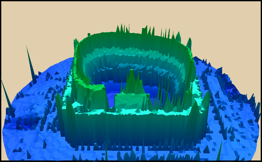
Data Management
Organizes and analyzes traffic counts and regional data to measure system performance, helping shape transportation planning and funding priorities.
Learn More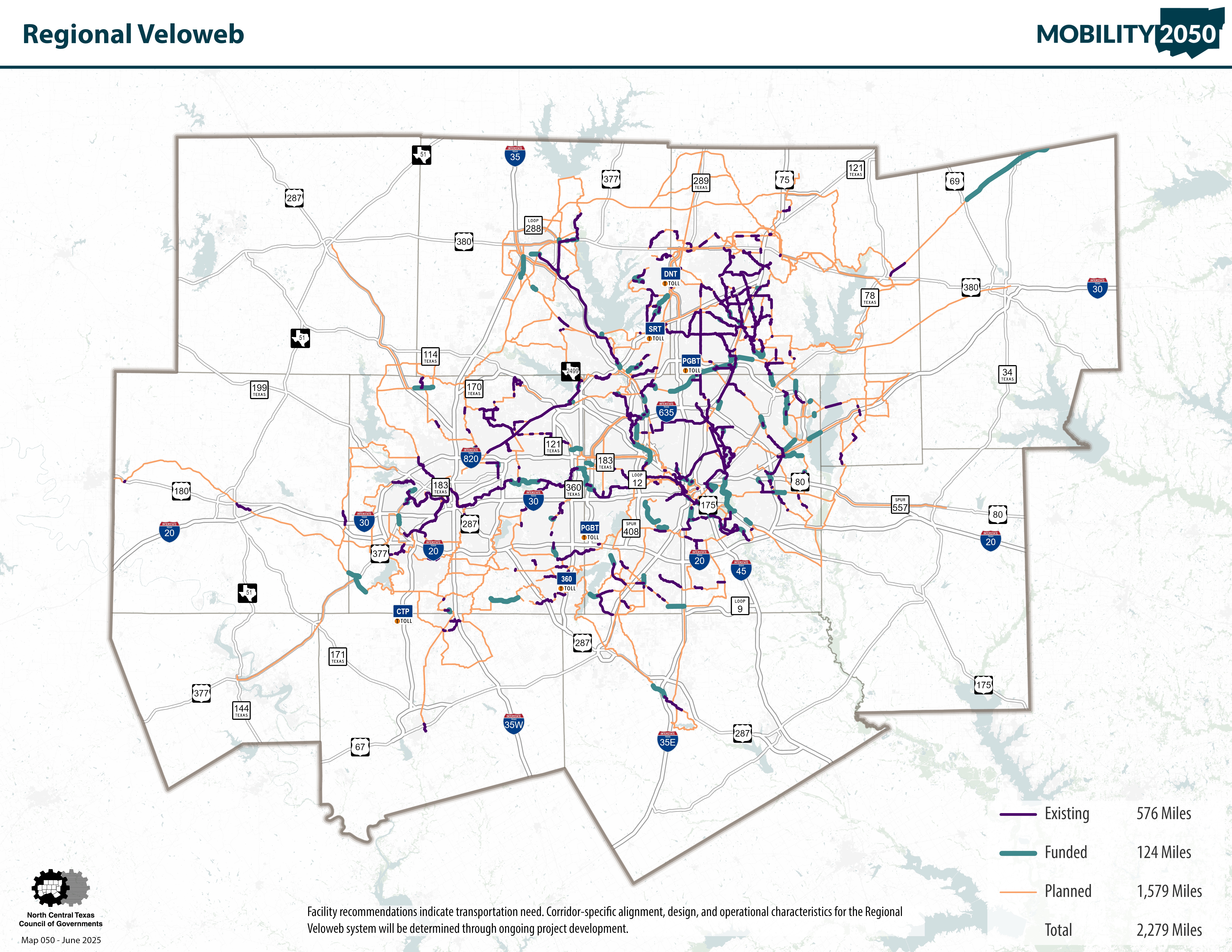
Maps
Helps visualize regional development and transportation networks to support planning, track growth, and make complex data easy to understand.
Learn More
Travel Demand Model
Uses computer simulations, population data, and transit networks to forecast future regional travel patterns, generating critical maps and statistical reports.
Learn More